How to find and download topographic maps of Canada
Part A: Finding the map sheet of interest
-
Go to TOPORAMA https://atlas.gc.ca/toporama/en/index.html
-
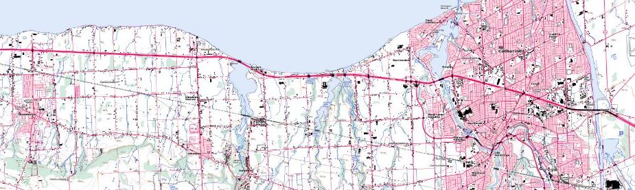
In the search bar, enter “Niagara”. The map zooms to the Niagara area.
-
Zoom in and out using the mouse scroll wheel. To pan the map, click and drag.
-
Click the red target beside “Get coordinates from map”.
-
Click the map to see a pop-up of information including Geographic Coordinates, UTM Coordinates, NTS Map sheet, UTM Elevation and Magnetic declination.
Note the NTS map sheet number and name (i.e. 030M03 - NIAGARA)
Part B: Downloading maps and data
-
Expand the Toporama menu and click on the “Downloaded Maps and Data”
-
Click under Raster Maps “Get all maps for all of Canada”. This will bring you to the Open Government Portal web page.
-
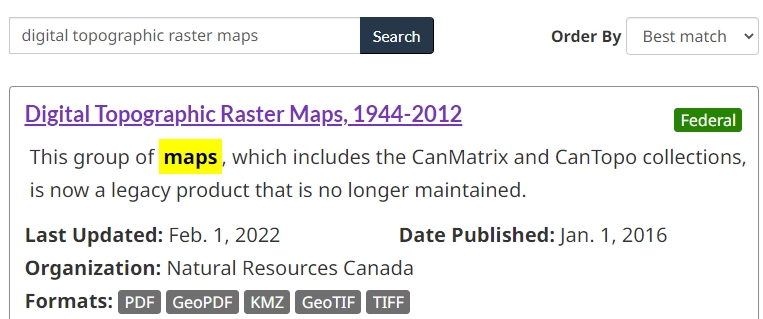
In the search box, enter “Digital Topographic Raster Maps”
-
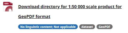
Click the first entry then scroll down to see the file options. To access a print-ready PDF, click download directory for 1:50,000 scale product:
NOTE: For various other scales and collections, go directly to https://open.canada.ca/data/en/dataset/d248b5be-5887-4cfb-942f-d425d82e6ea9/resource/9ca5525b-8527-40ec-9711-a2d744cf1ec0
-
Click the URL to access the FTP directory for download. The number of the 50k map is 030M03.
-
Locate the folder with “030” and click it. Each click may take a few seconds to activate and load the FTP site.
-
Find the folder with “m” and click it.
-
Find the folder with “03” and click it.
-
Rest the cursor over each file to see the filename at the bottom of the window and make an appropriate selection. For example, a filename ending with “prtpdf” will download a print ready PDF. If you can’t see the file names, click each one to download and see the files. Look in your DOWNLOADS directory for the files.
HINT: the second file in the listing for 30M03 is the print-ready PDF.
This tutorial is brought to you by the Brock University Map, Data & GIS Library E-mail us at maplib@brocku.ca
You can also find us on:
Facebook
Twitter
Instagram
![]()