Geodata Listing
geospatial data at your fingertips
Contents: About the Collection | Contact Us | Tech
About the Collection
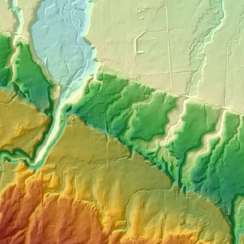
This collection of geospatial data fact sheets provides a sample of GIS data available to the Brock University community as well as some open data available to the broader public community. For more information, or assistance with finding data specific to your teaching and research needs please contact us directly.
Contact Us
Map, Data & GIS Library
maplib@brocku.ca
Twitter: @BrockU_MDGL
Sharon Janzen, Geospatial Data Coordinator
sjanzen@brocku.ca
Twitter: @sjanzen
Technical Credits - CollectionBuilder
This digital collection is built with CollectionBuilder, an open source tool for creating digital collection and exhibit websites that is developed by faculty librarians at the University of Idaho Library following the Lib-STATIC methodology.
This site is built using CollectionBuilder-gh which utilizes the static website generator Jekyll and GitHub Pages to build and host digital collections and exhibits.
